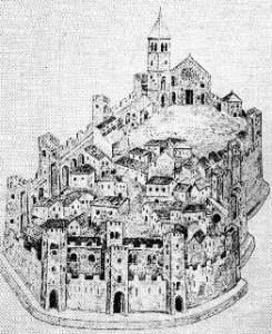
 This paper considers the significance of geometrical knowledge and the role of surveying as influences on medieval town plans in Europe. Analyses of selected plans show signs that improvements in methods of measurement made it possible to lay out towns with greater accuracy from the mid-twelfth century onwards, and that surveying techniques based on practical and theoretical geometry were used to produce towns with orthogonal plans. It is suggested that orthogonal town plans had symbolic importance in the Middle Ages.
For read and/or download article (PDF file) click here.